aNewDomain — A quick search on Google Play will yield several decent GPS applications, but one of my favorites is the free app GPS Essentials for Android, made by Mictale.com.
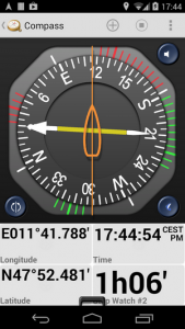
 The app’s dashboard offers loads of customizable features. If you’re looking to track your altitude, latitude, longitude, speed, rate of climb, or much more, GPS Essentials has you covered.
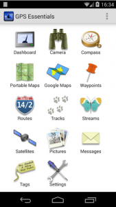
It’s easy to access, either by starting your Android device’s GPS receiver or bringing up location services. Keep in mind, it may take a few minutes at start-up for the GPS to access the satellite data needed to fix on your location. After this initial step, the main screen of the app has several handy options.
 Doing some documentary or research photography? The camera feature brings up your device’s camera with headings, a tilt indicator, and an artificial horizon. You can also use the tracks option to help log your journeys. Click the plus sign to start a new track and name the track. Then click “create” to start logging your travel.
Some airlines are now allowing for GPS use above a certain altitude, though keep in mind you need to turn off the GPS Essentials app during takeoff and landing. On a recent cross-country trip, I was able to use the dashboard view on the app to track my progress from my window seat, 35,000 feet in the air.
At one point, I recorded a speed of around 560 miles per hour, and both latitude and longitude measurements were always available. Honestly, watching my coordinates move across the country was a welcome change from reading (and re-reading) the in-flight magazine.
That’s why GPS Essentials for Android is my choice for aNewDomain’s App of the Day.
For aNewDomain, I’m Rob Reilly.
Ed: The original version of this review ran on aNewDomain’s BreakingModern. Read it here.
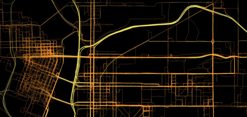
Featured image: GPS Logs from Portland by Aaron Parecki via Flickr
All screenshots: Rob Reilly


